Gaustatoppen — the view over one-sixth of Norway
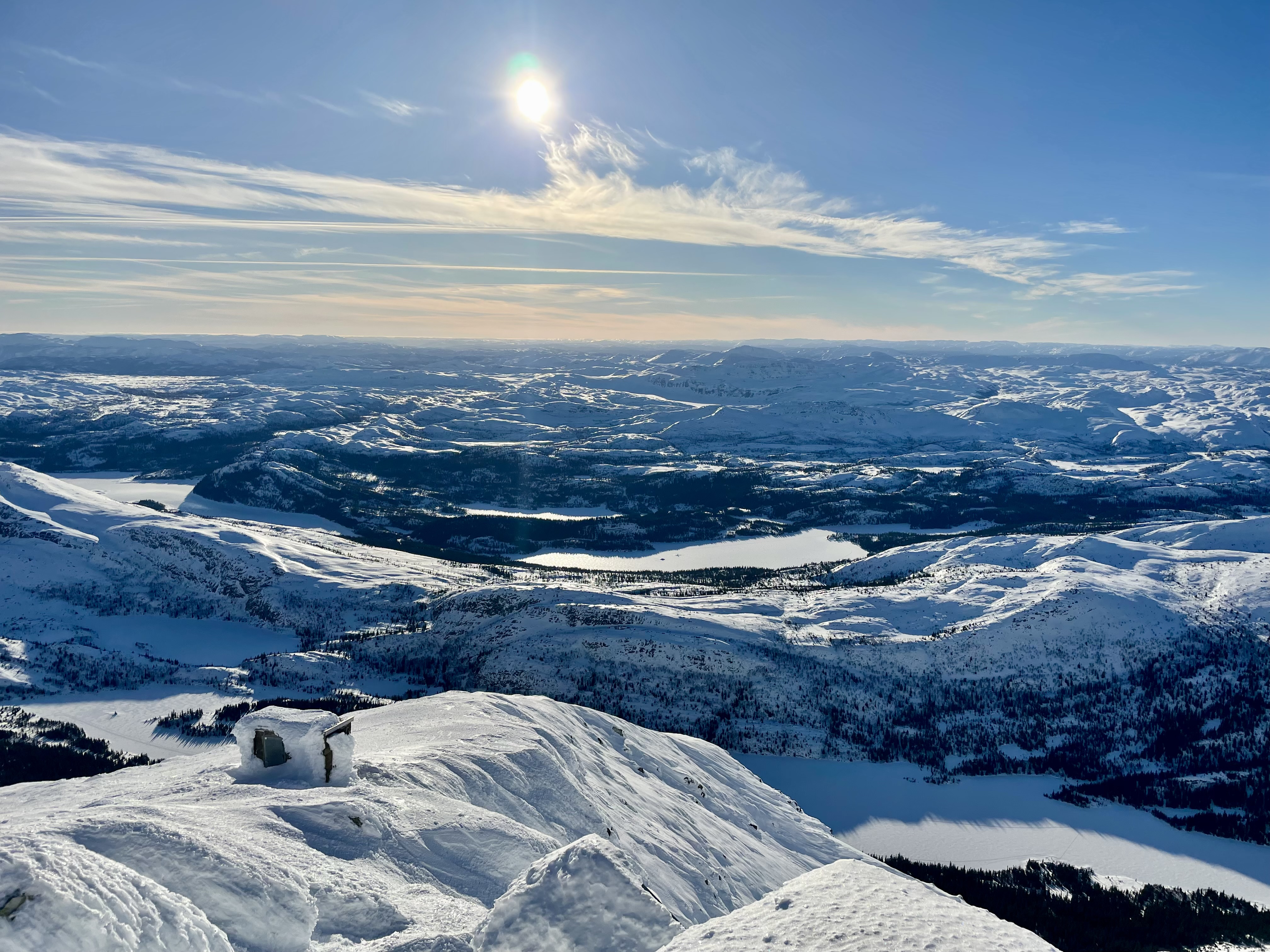
At the summit of Telemark stands one of Norway's most characteristic mountains. On clear days, you can see from Hardangervidda in the west to the Oslofjord in the east, from the Skagerrak in the south to Jotunheimen in the north.
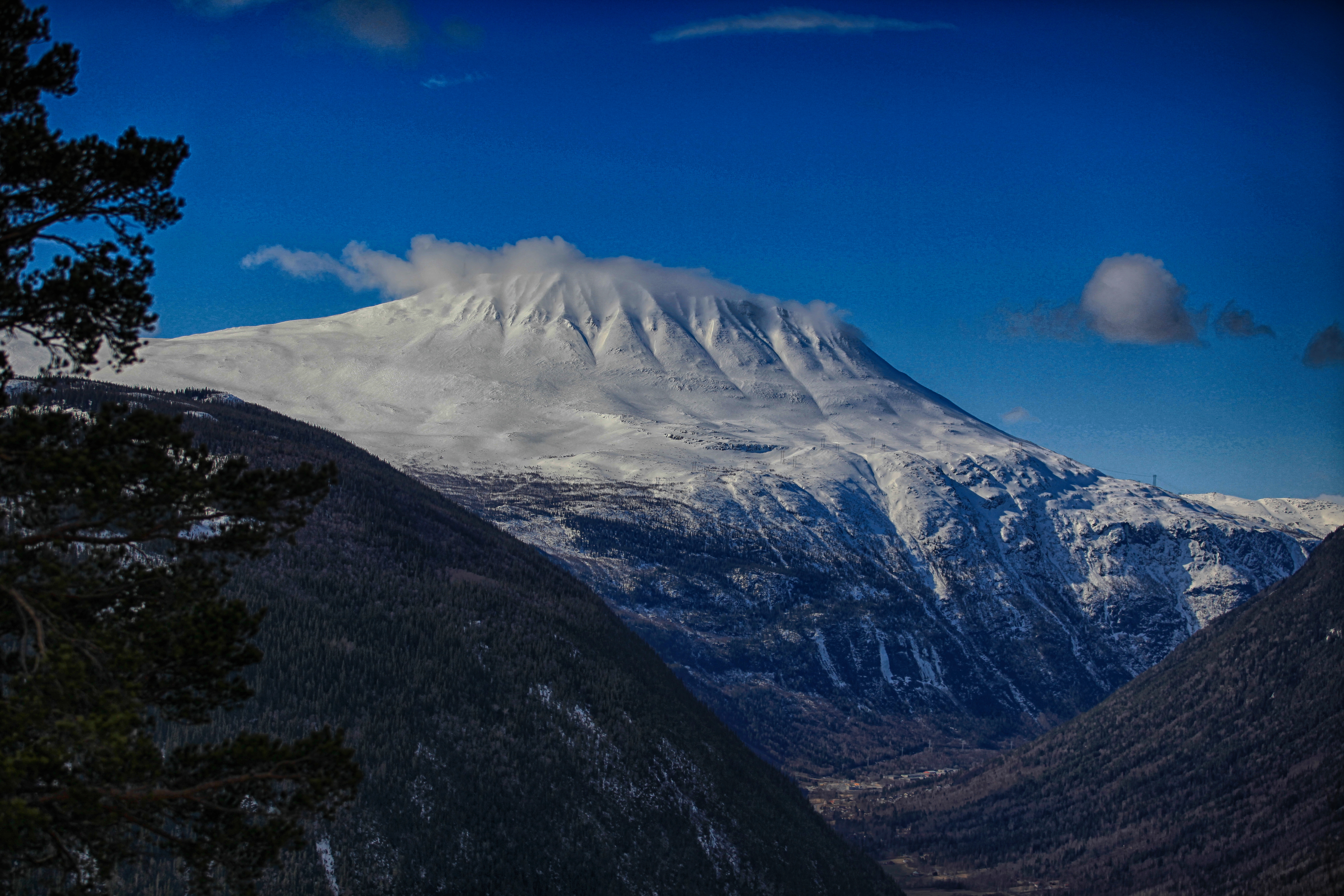
The mountain that sees all of Norway
Gaustatoppen rises 1883 meters above sea level and is Telemark's highest mountain. With its characteristic, almost pyramid-shaped peak, few mountains in Norway can match the view — on a clear day, you can see approximately one-sixth of the country, from Jotunheimen in the north to the sea in the south.
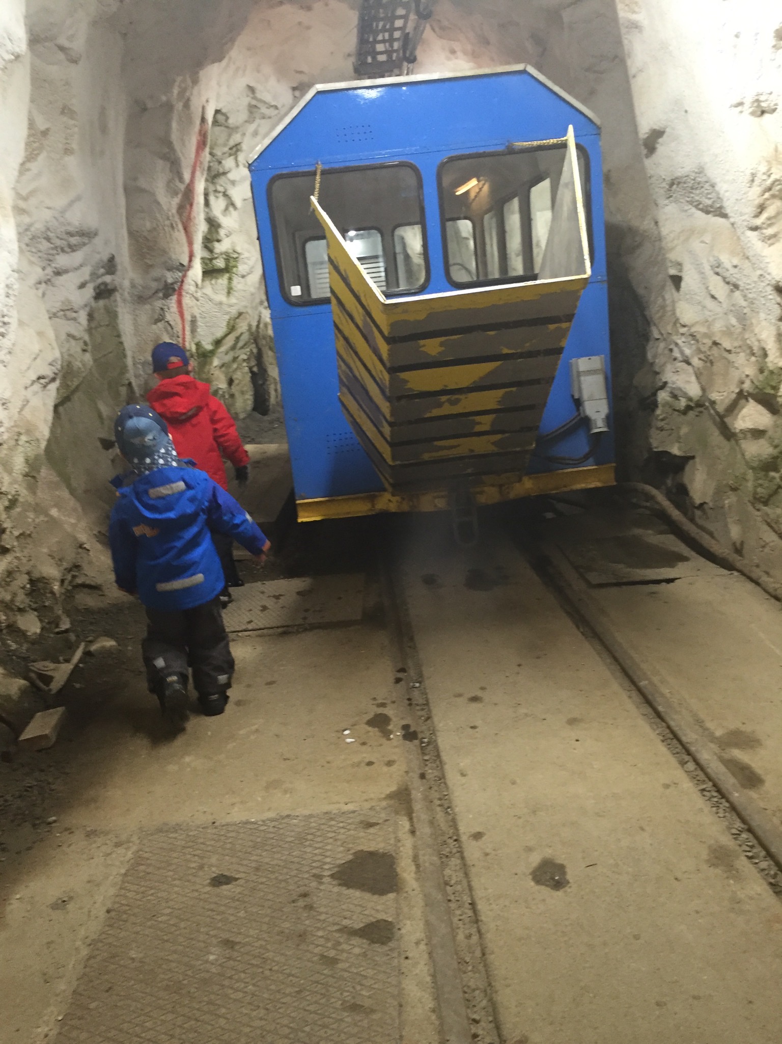
The summit is accessible year-round. In the summer, you can hike up via classic routes (Stavsro is the most used). You can also take the Gaustabanen year-round — a unique funicular built by NATO in the 1950s to service the radar station at the top, which has been open to the public since 2010.
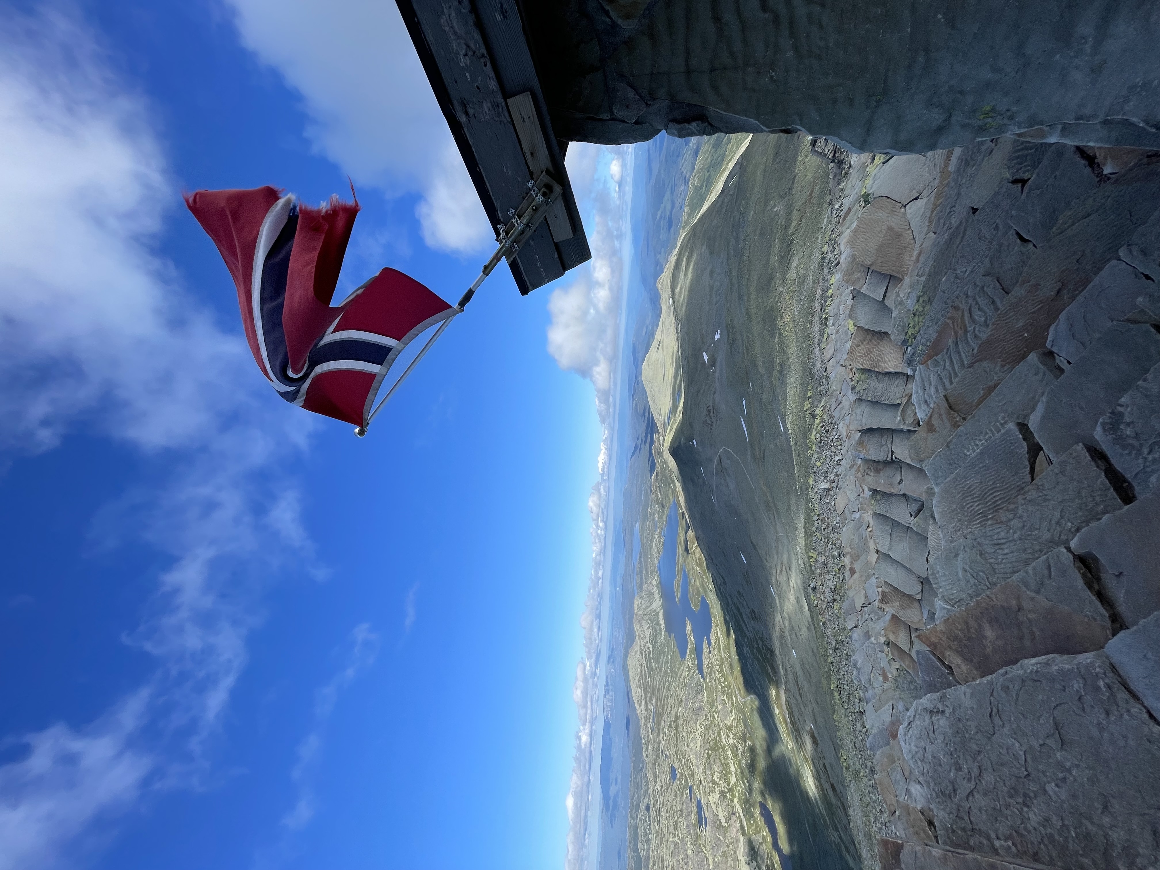
The summit cairn, the tourist cabin (open in summer), and the still-active NATO facility share the peak in a rare encounter between nature, war history, and modern military technology.
- Height
- 1883 m.a.s.l.
- Hike round-trip
- 3–4 hours
- Gaustabanen
- ~15 min to the top
- Season
- Year-round (best June–October)
Gallery
Two ways to the top
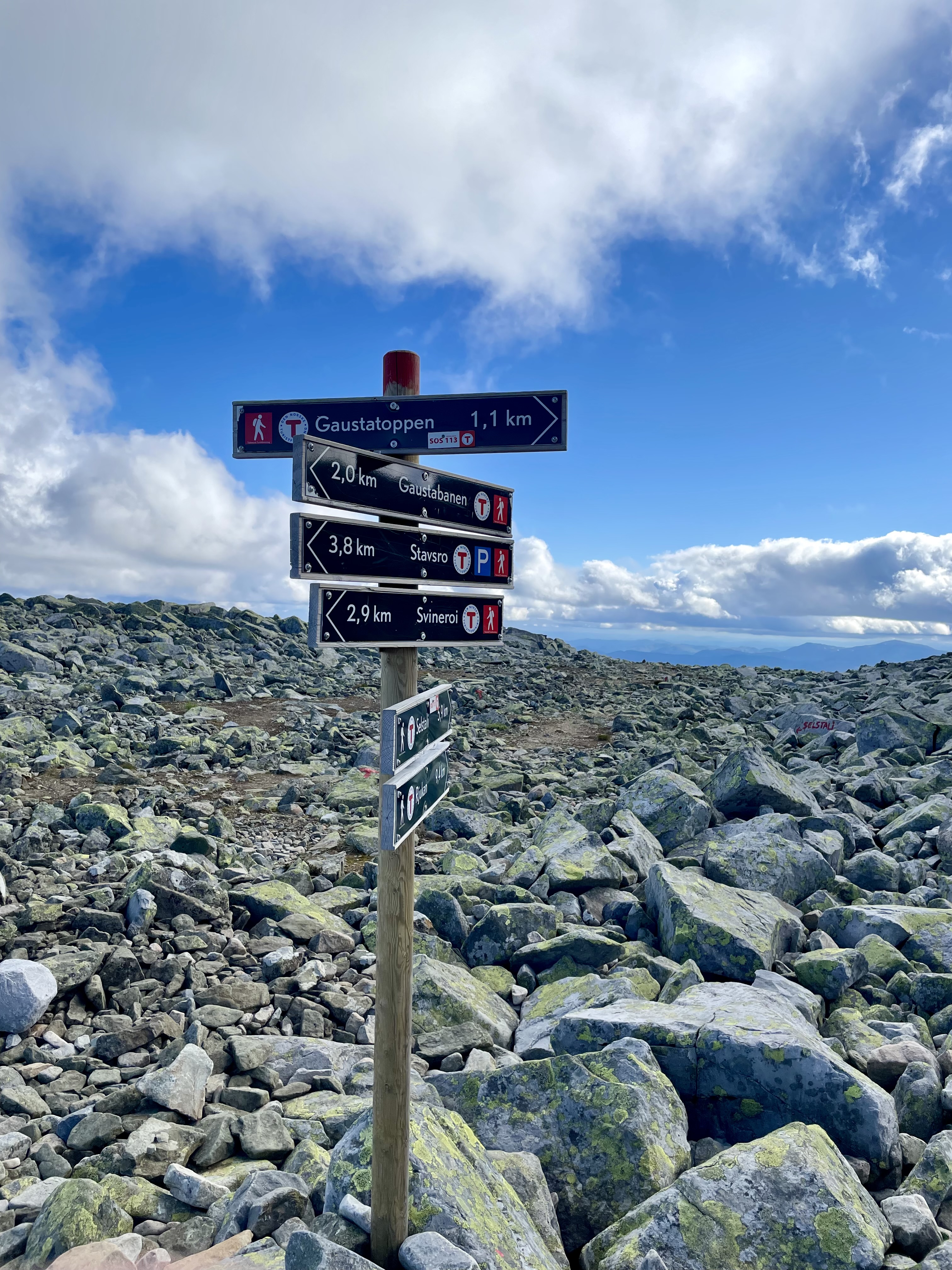
Hike from Stavsro: The most popular route starts at the parking lot at Stavsro (1173 m.a.s.l.). The trail is well-marked and takes about 1.5–2 hours up. The terrain is moderate — steep towards the summit, but technically straightforward. Use good hiking boots, bring water and a wind jacket regardless of the weather at the start.
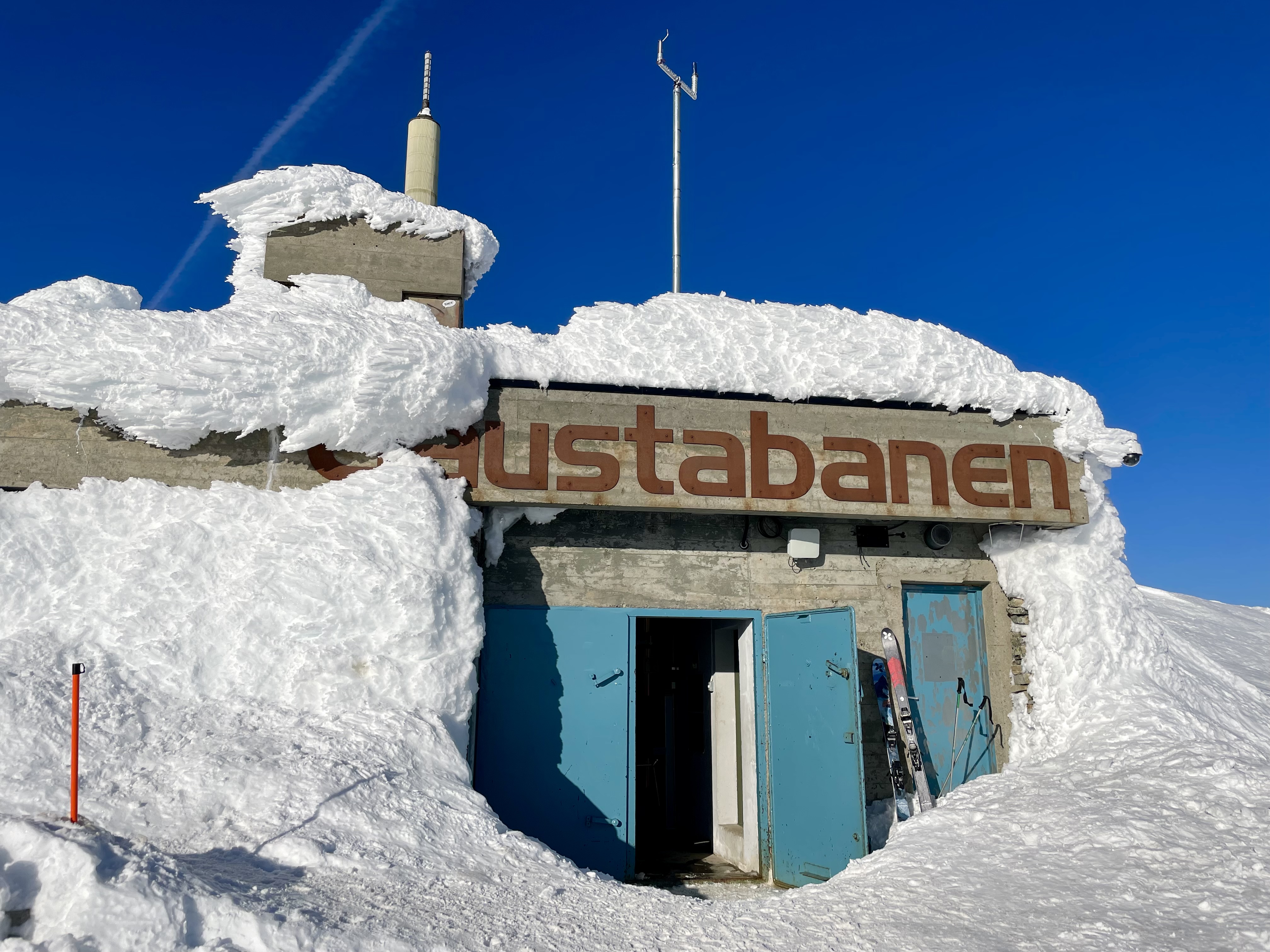
Gaustabanen: The entrance is located in Svineroi near Tuddal. A car takes you 850 meters horizontally into the mountain, then a funicular 1040 meters up through an inclined shaft. The whole trip takes about 15 minutes — an experience in itself. The funicular was previously only for NATO personnel.
Kombiner med
Gaustabanen
Learn more about the unique NATO funicular that takes you into the mountain and up to the summit.
Les merHiking Guide
Detailed route guide, season, difficulty, and packing list.
Les merRjukan
The UNESCO town at the bottom of the valley — the base for most Gaustatoppen trips.
Les merHardangervidda
Europe's largest mountain plateau begins just west of Gaustatoppen.
Les merGaustablikk
Alpine resort and disc golf course on the west side of the mountain.
Les merRjukan in winter
Skiing, ice climbing, and winter tours around Gaustatoppen.
Les merOfte stilte spørsmål
Take your class to the top of Telemark
Gaustatoppen is an unforgettable experience for school classes — we arrange Gaustabanen, a guide, and the itinerary.